After a good nights sleep, we woke up around 8 am and headed out to the dining area for breakfast.. no points for guessing. It was the Parantha and pickle and chai. 😉 After a quick breakfast we headed towards Manali. We had approximately another 230 kms remaining. We crossed Bharatpur and finally reached Baralacha La at an elevation of 4,890 m or 16,040 ft. Baralacha La means summit with cross roads from Spiti, Ladakh, Zanskar and Lahaul meet here and in ancient times it was part of a trade route. On the North West lies the Bhaga River while the Chandra flows South East. Below the Baralacha-la one would find a beautiful emerald lake the Suraj tal (Sun lake), the source of the river Bhaga. Suraj Tal is approximately 65 kilometers before Keylong on the Leh-Manali highway.
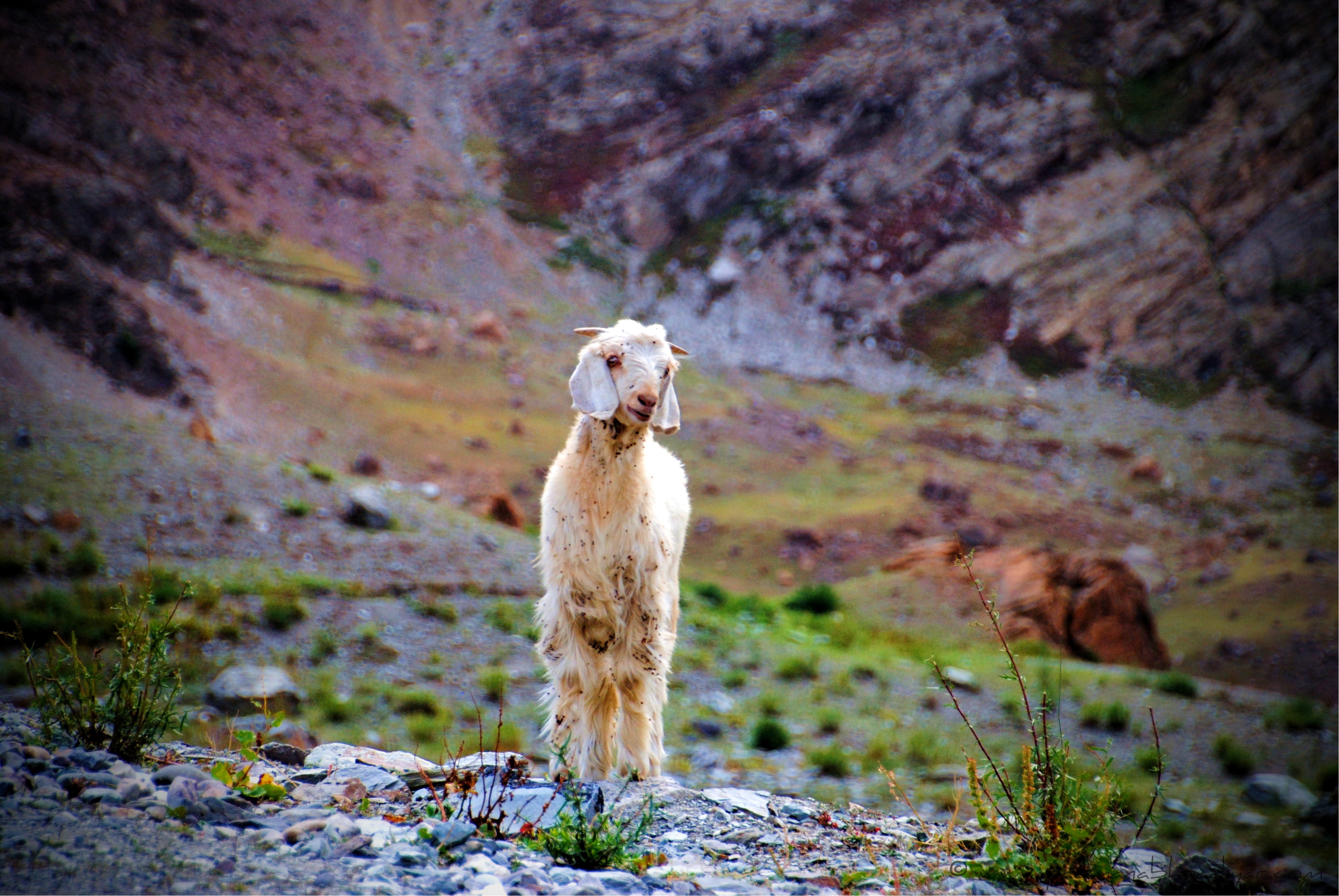
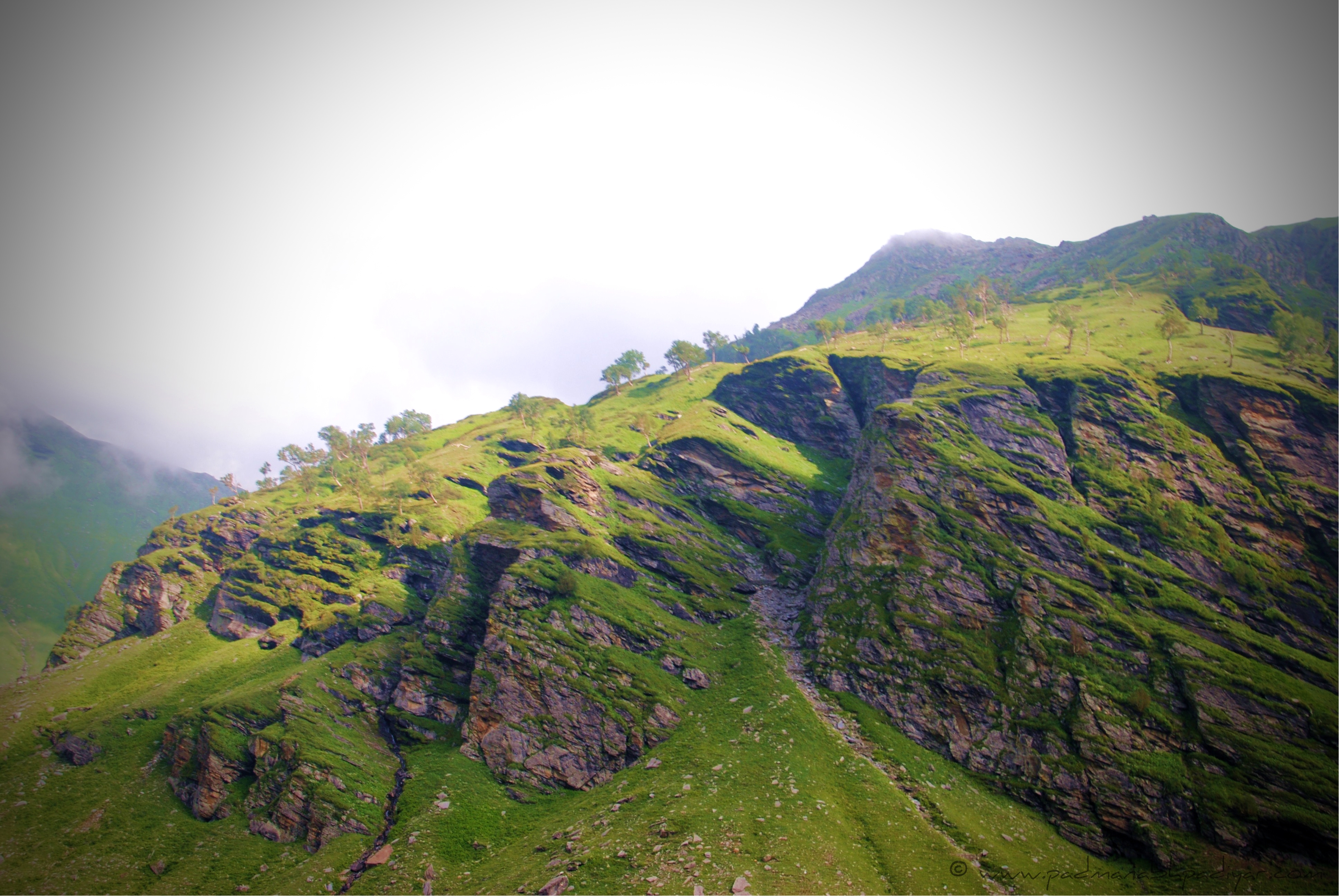
We descended from Baralacha La and reached Zingzingbar at an elevation of 4,270 m or 14,010 ft and continued downhill towards Darcha 3,360 m or 11,020 ft. The landscapes suddenly started transforming from barren mountains to lush green patches. we crossed an army post a lil after zingzingbar and saw they were playing cricket. Theres something that drives this country mad. Its either Bollywood or Cricket or both 😛 Had to control the urge of not getting down from the car and joining them in a game or two. Anyways, we drove a lil ahead and reached another army post.. I think it was called Patio not exactly sure of the name. Saw this structure whose roof was painted with the Indian tri-color. Felt pride in being an Indian. We crossed over a bridge by the side of this place and reached a small pond by the road. We saw these hundreds of Sheep which were grazing by the pond. We stopped for a couple of minutes to stretch our legs and back. Took a few pictures of the sheep and the landscape around and continued on our journey.
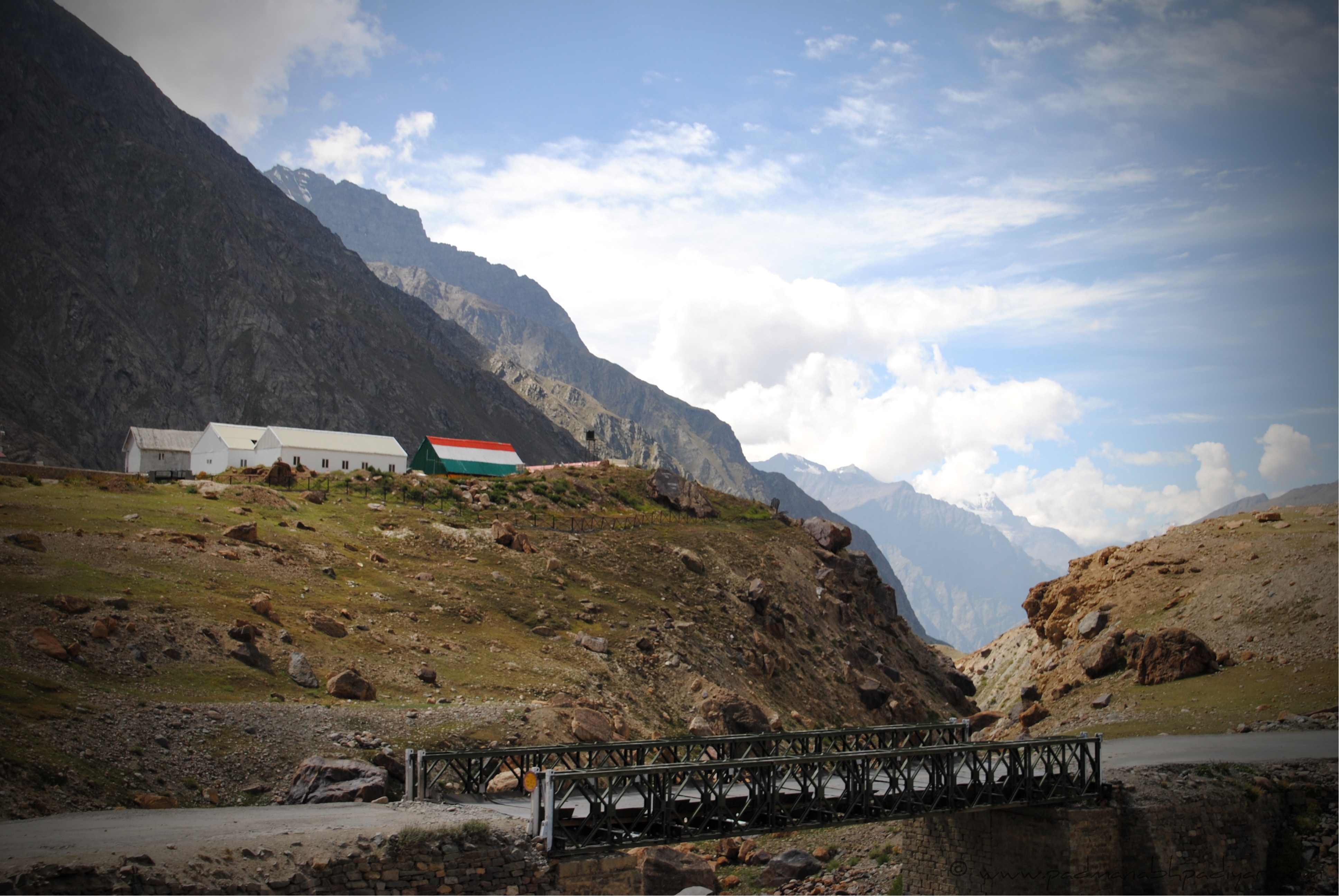
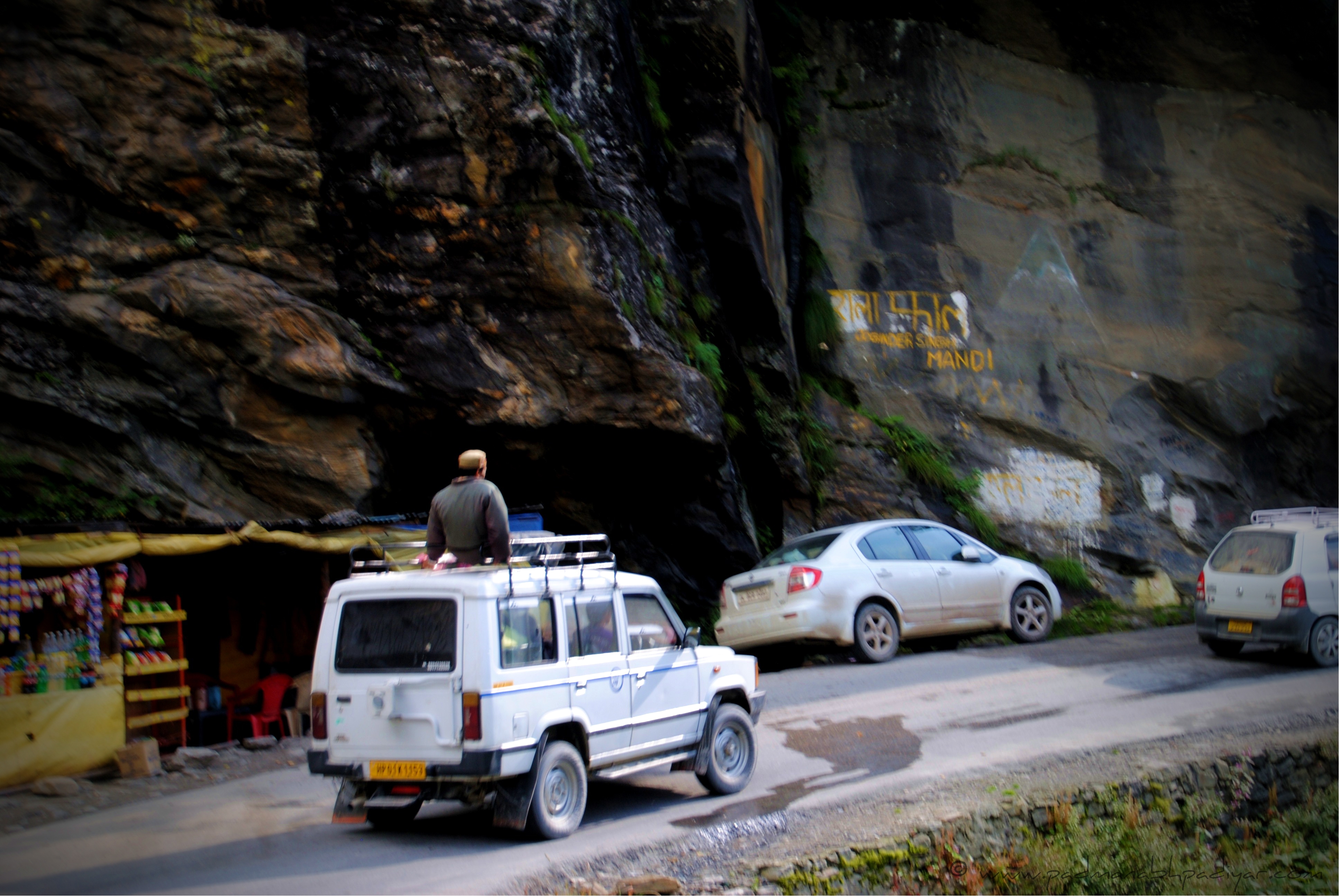
We reached Darcha around noon. It is at an elevation of 3,360 m or 11,020 ft. Here we were stopped at the Himachal checkpost. And again we had to pay a bribe.. luckily this time it was just Rs.100. These things make me think why do i even pay taxes if i have to keep shelling out bribes to travel within my own country. We crossed Jispa soon after and reached Keylong. At an elevation of 3080m or 10,100 ft , our breathing eased up a lil. Our lungs started to relax 🙂 Though the roads were in pretty bad shape, they were still motorable. Keylong had some good hotels and restaurants but we decided not to stop anywhere.. We just wanted to reach Manali without any hiccups at Rohtang. Apparantly Rohtang these days allow only one way traffic at a time so we were hoping that we wouldnt be made to wait.
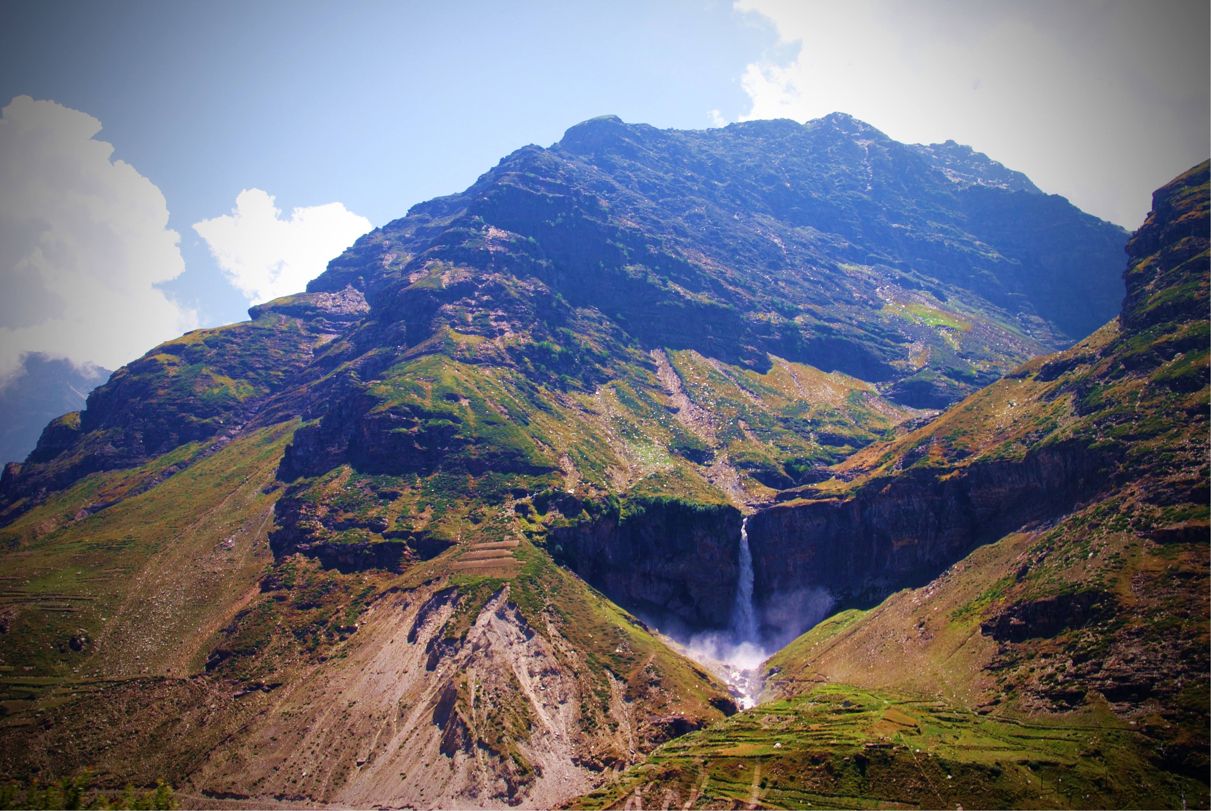
From Keylong, we further went down south and reached Tandi. This is the place where bikers travelling the Manali – Leh route fill up their tanks for one last time before heading towards Leh. Lucky for us, we had enough fuel and didnt have to tank up the cab till the end of our journey. Tandi at an elevation of 2570m or 8430ft is situated at the bottom of the river valley at the confluence of the Chandra river and the Bhaga river (flowing down from north) which merge to form the Chandra-Bhaga river (that later becomes known as Chenab downstream in Jammu and Kashmir). From Tandi, the altitude started rising again. We passed through Sissu at 3130m or 10,270ft. While driving through Sissu, we saw a magnificent waterfall on the right side of the road. Unsure of the name of the waterfall.. It oversees a Helipad.
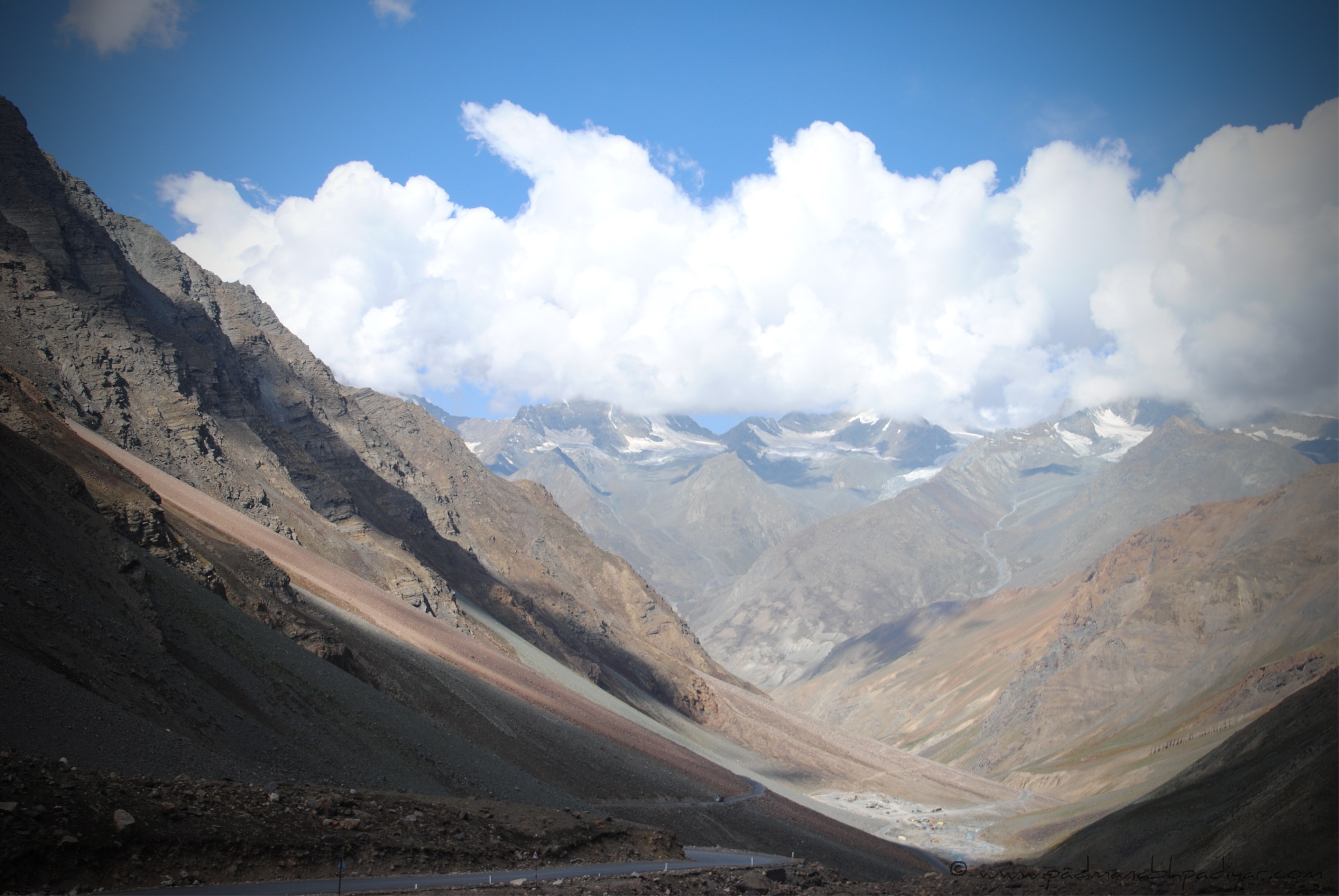
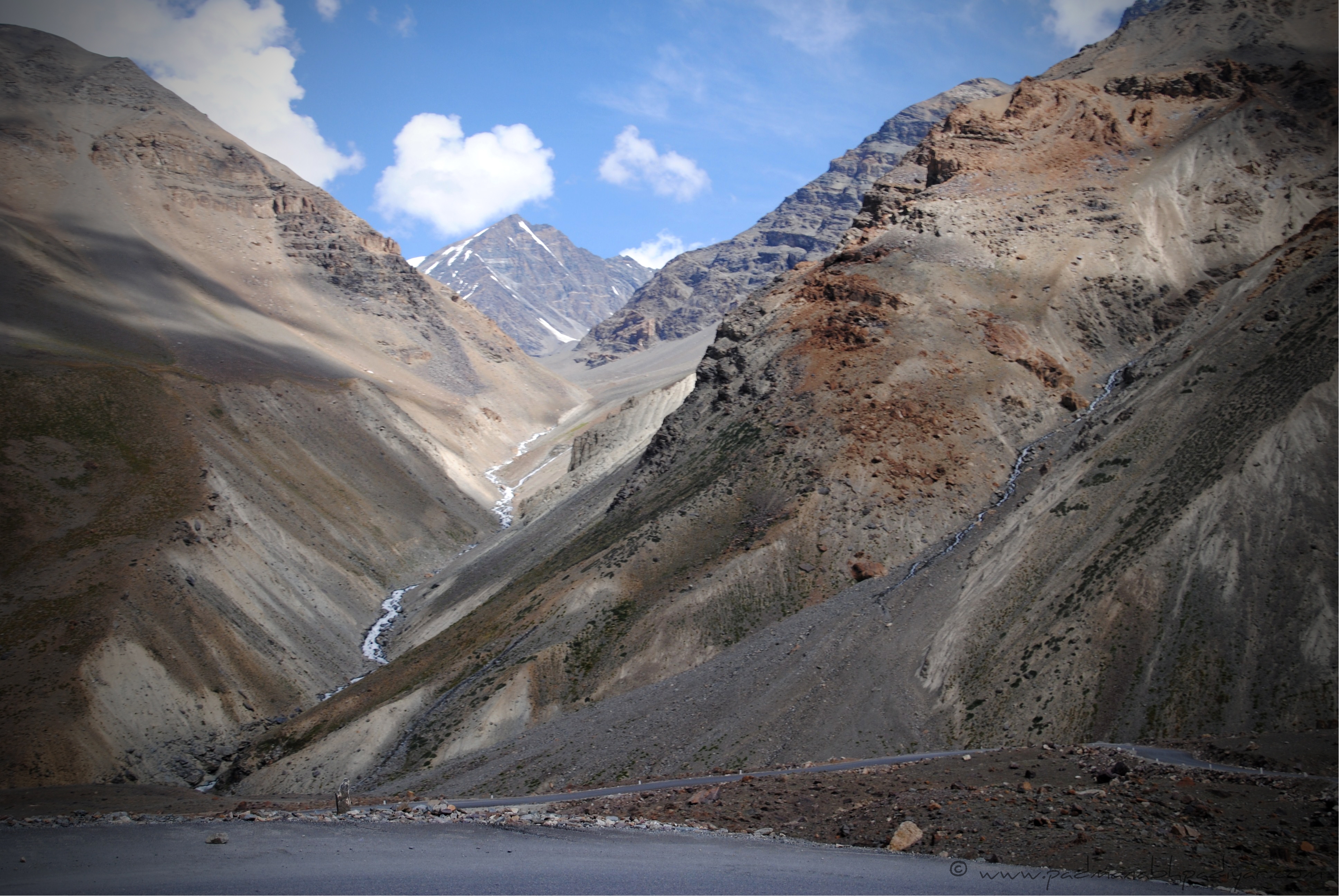
We drove a few more kilometers and reached Khoksar before beginning our climb up to Rohtang Pass. From Khoksar, it was a steady ascent to the pass. we were welcomed with thick clouds at the pass and had the pleasure of driving through it.. The visibility came to a near zero and all around including the inside of the cab turned white 🙂 This experience is one which i would never be able to forget. The previous time i have had the opportunity to take a walk in the clouds at Munnar, Kerala. The resort we stayed at Deshadhan had a small trek to the peak where one could experience this. Deshadhan was the resort at the highest altitude in South India. Brought back some sweet memories.
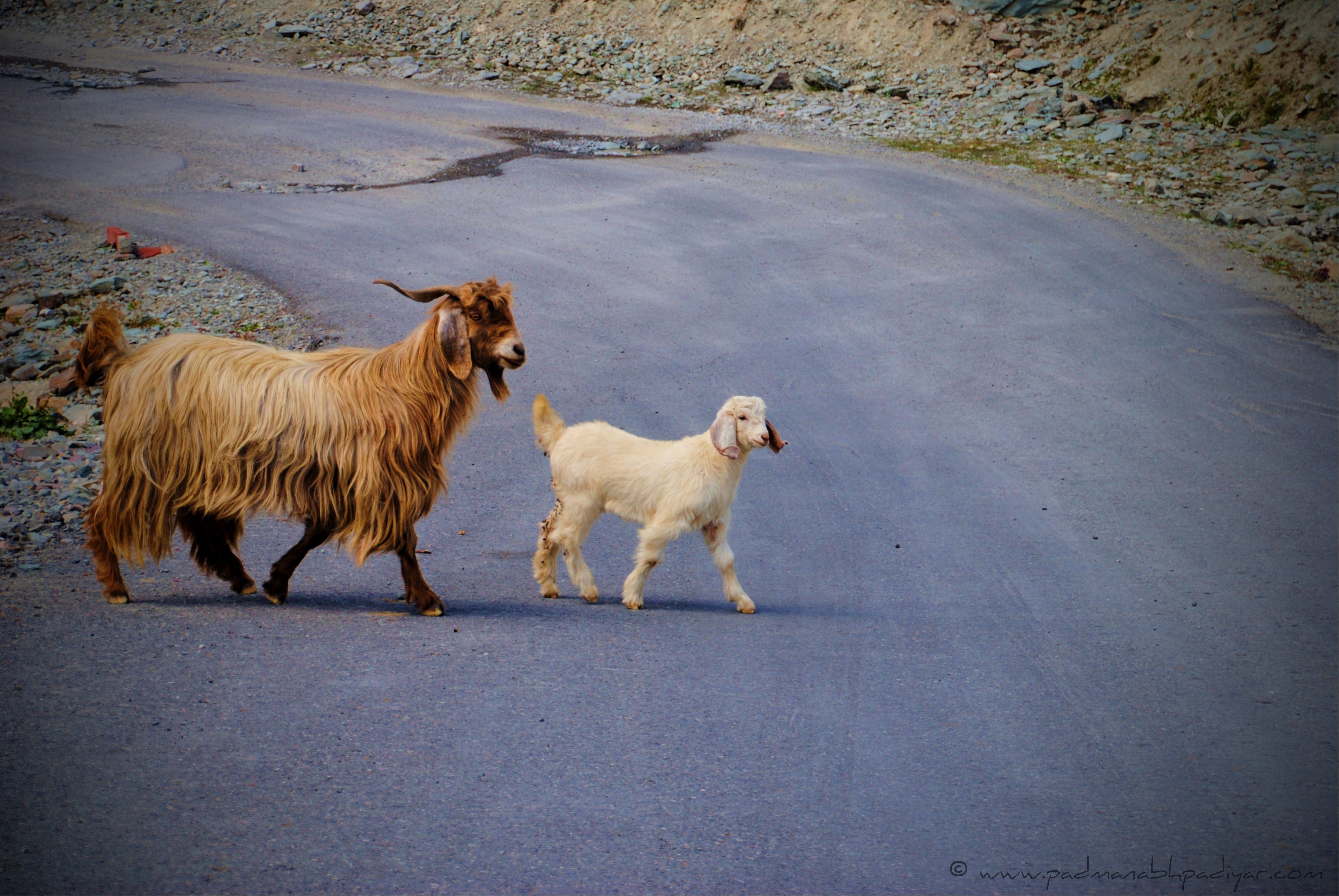
We reached Rohtang Pass at around 3 pm. It is at an altitude 3,978 m or 13,051 ft. It connects the Kullu Valley with the Lahaul and Spiti Valleys of Himachal Pradesh, India. The pass is open from May to November. One would be welcomed by several small waterfalls throughout the climb from Khoksar to Rohtang. Also keep an eye for the mountain sheep which you will find perched on edgy boulders. These provide for an amazing experience. We stopped at Rohtang Pass for a lil while and ate at a tented dhabha. Maggi had never tasted this good. A tibetian woman started engaging the lady with us to wear the traditional attire and take photographs.. my friend refused and probably the first time i saw any woman refusing someone who was willing to dress them up 😉 😛 Anyways.. she wasnt the only one who was trying to woo the tourists, there were several others who were selling Saffron and few others giving joy rides on quad bikes and pony horses for a fee. We stayed there for a few more minutes and then started our descent towards Manali. We still had to cover about 51 kilometers (31 mi).
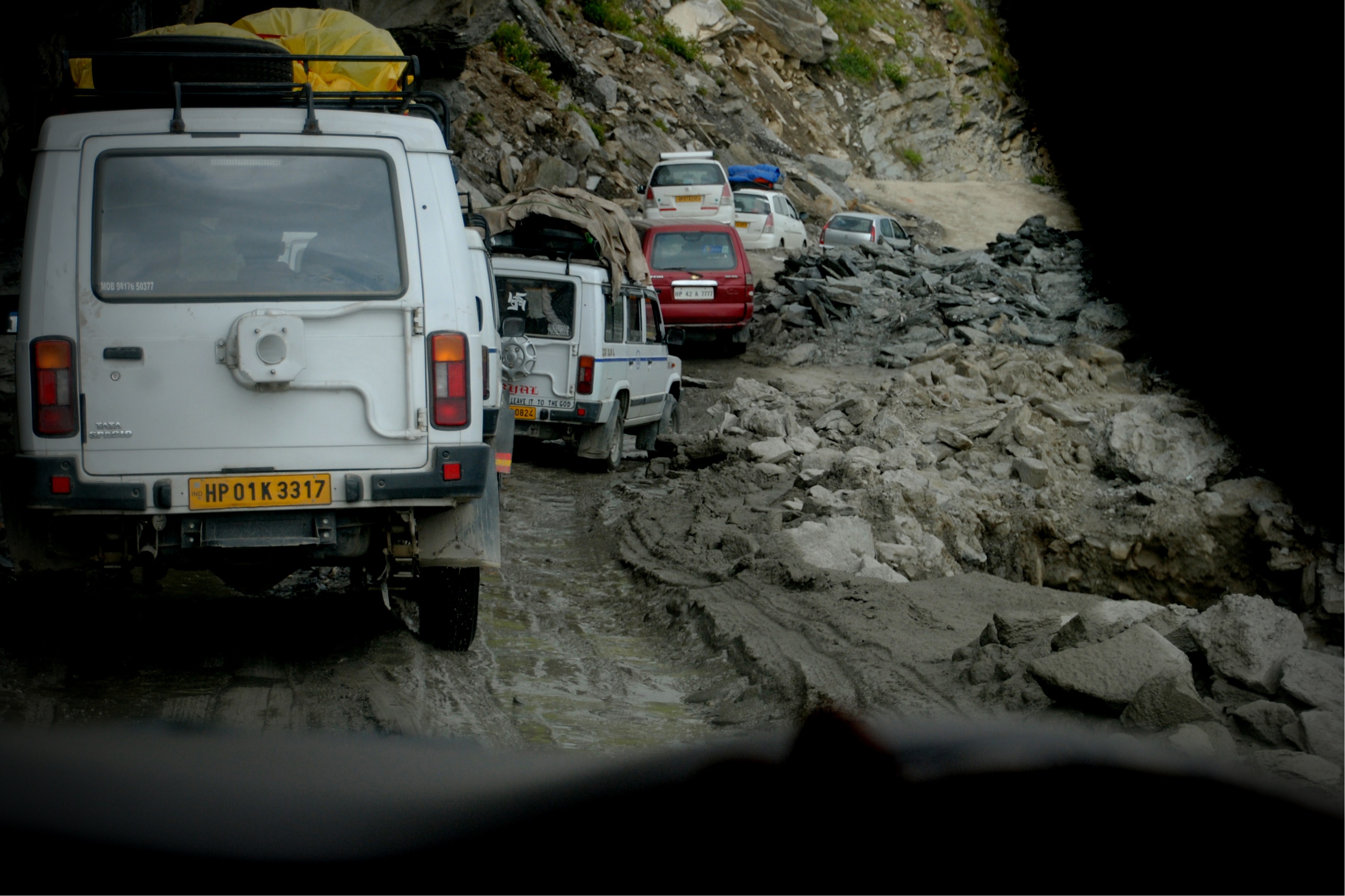
The 18 km stretch of road from Rohtang Pass to Marhi at 3,980 m (13,060 ft) elevation was probably the worst roads of the entire trip. we were thrown around inside the cab due to the bouncy roads.. The dust outside on the roads almost covered the windscreen of the cab causing poor visibility. The slush on the roads made it very difficult even for the most experienced drivers to negotiate the path. And to add further woe to our worries, we got stuck on the roads for about an hour. Once we reached Marhi, we were approached by several folks trying to convince you for trying the paragliding. One look up in the sky and you would find several folks gliding. We were absolutely not in a mood to try out one more adventure stunt after this long trip of ours and we headed towards Manali. We also saw several folks stopping at Rani Nalla and clicking pictures.. And this caused a further jam on the roads leading to Marhi.
Manali was still bout 33 kms away.. the roads from Marhi to Manali were an absolute delight to drive on. The tarmac was laid beautifully and the curves were fantastic. It was a steady descent. It was almost 6 pm and we had finally arrived at Manali at an elevation of 2,050 m (6,730 ft). The Clickometer on my DSLR read 1065 shots.
Cell Phone Coverage Alert : We had full range in Leh.. BSNL threw some Connection Errors on us but we were still able to get through after trying a few times. We had cell phone range up until Upshi. Beyond that we got the range only at Keylong. We also found BSNL pay phones at Jispa, Darcha, Tandi, Sissu, Khoksar and Marhi. We had full range at Manali on all networks including my Vodafone.
We had finally done it.. a dream holiday in one of the worlds highest holiday destinations. Traversing through 7 high altitude passes, spending the night by one of highest lakes in the world. Visiting some of the worlds oldest monasteries. Driving through some of the most dangerous roads in the world. Meeting new friends and saving memories for a lifetime. The virgin beauty of ladakh will always make me go back for more.
Click on the Thumbnail to view a high res copy of the same.


View the detailed Itinerary Map Here.
Jump to :
All of the photographs are original property of http://www.padmanabhpadiyar.com
All Photographs are licensed under a Creative Commons Attribution-NonCommercial-ShareAlike 3.0 Unported License.If you need to reuse them for any purpose you may contact me here.


Awesome…. 🙂